Area Mission
This page provides detailed instructions on how to use the Area Mission in the Mission app.
The user interface is almost the same as Waypoint Mission. The only difference is that you can set a polygon on the map instead of setting waypoints.
1. Plotting the Area
You need to plot the area that you would like the drone to fly around. A minimum of three points is required to create a polygon.
2. Configuration Tab
The Configuration tab is the second tab in the Mission Form. This tab allows you to set the general configuration for the mission you are creating.
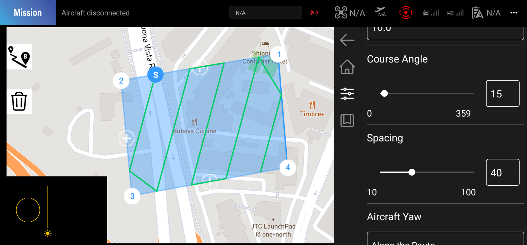
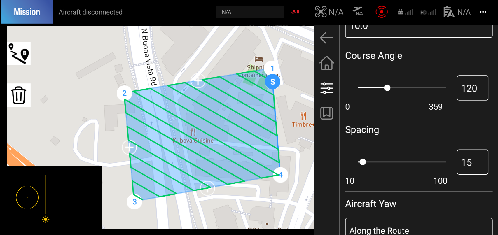
3. Parameters
3.1. Course Angle
This parameter allows you to set the angle at which the drone will fly around the polygon.
3.2. Spacing
This parameter allows you to set the distance between each waypoint.